All-in-one
Motorcycle
App.

Route generation, offline navigation and a full riding dash in one app.

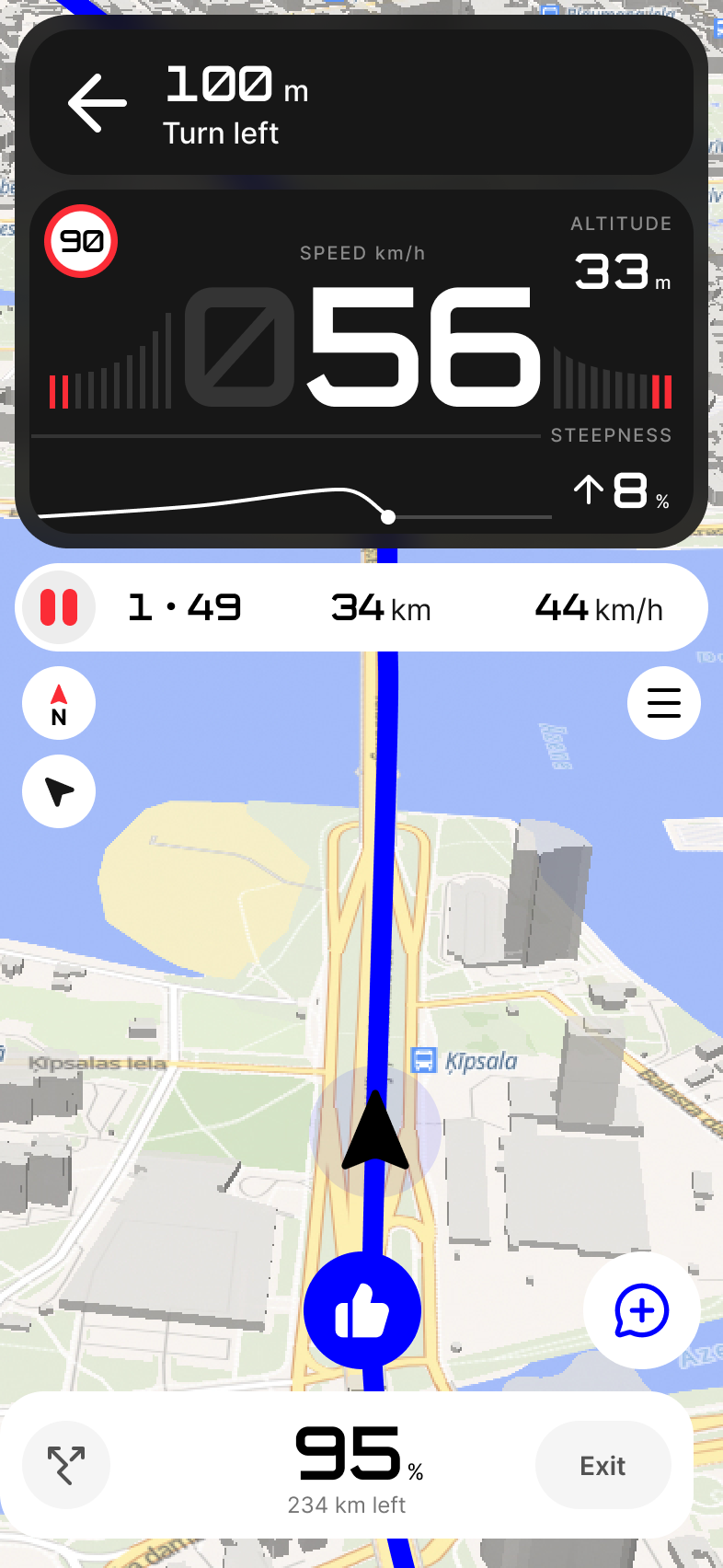
Maze navigating: the next turn, speed, speed limit, altitude and steepness over the map

Routes Liked by riders Not algorithms

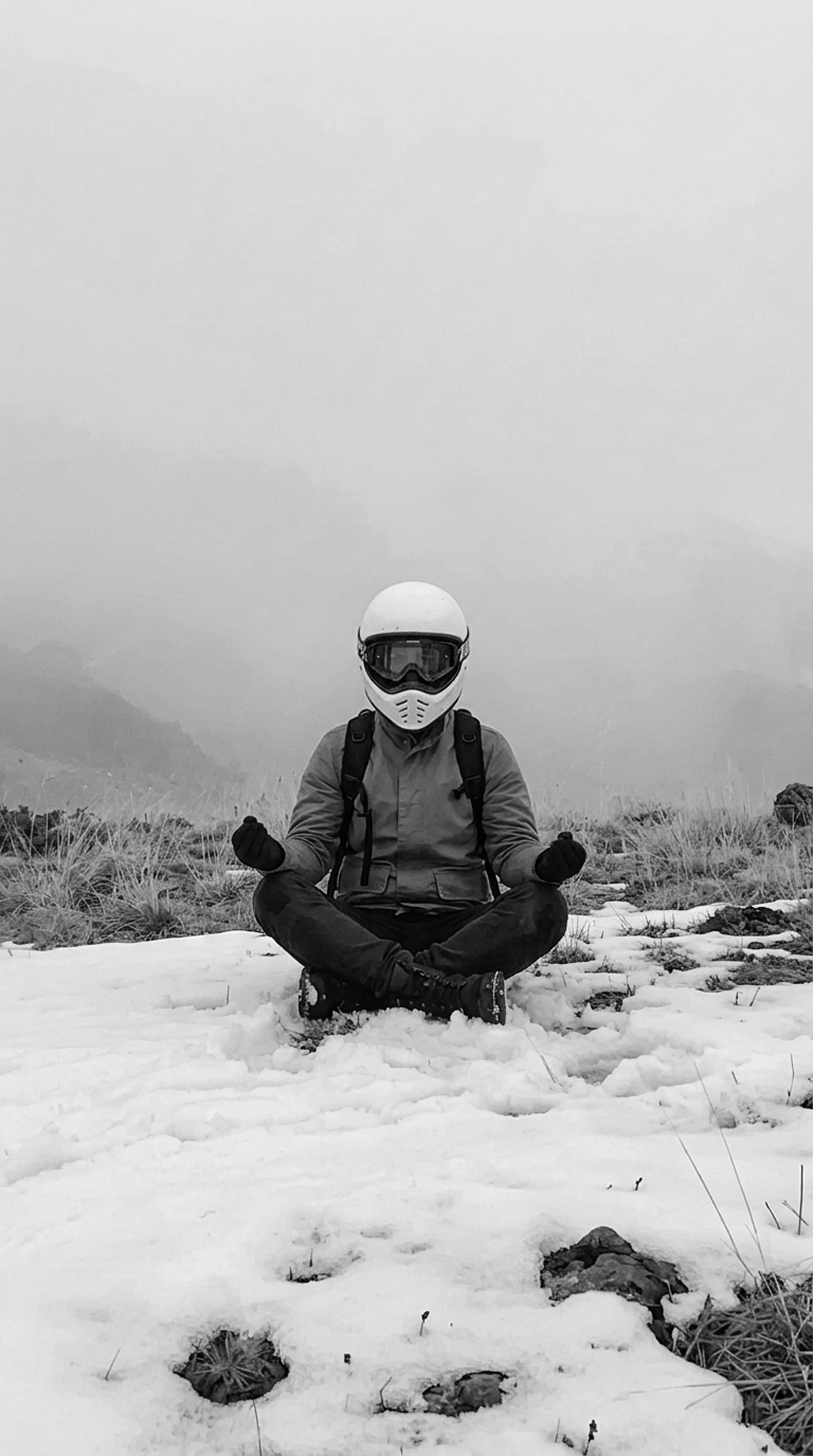
A rider in a white helmet sitting cross-legged in the snow on a foggy mountain
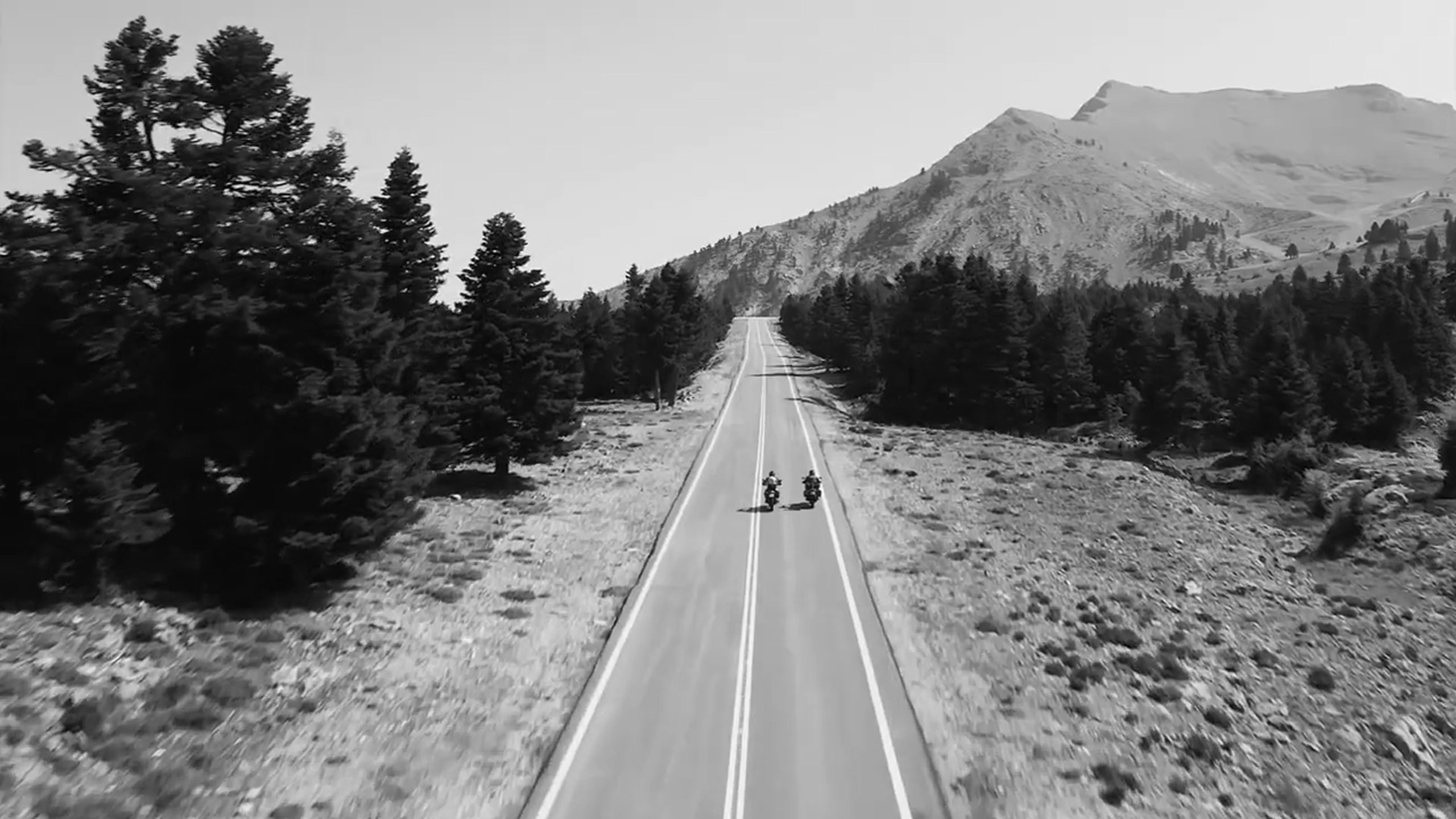
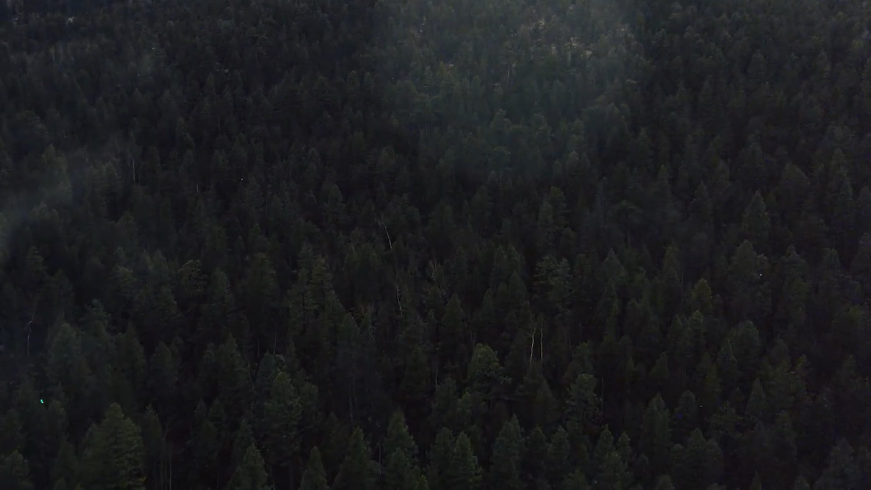
Two motorcycles on an empty mountain road through pine trees, seen from above
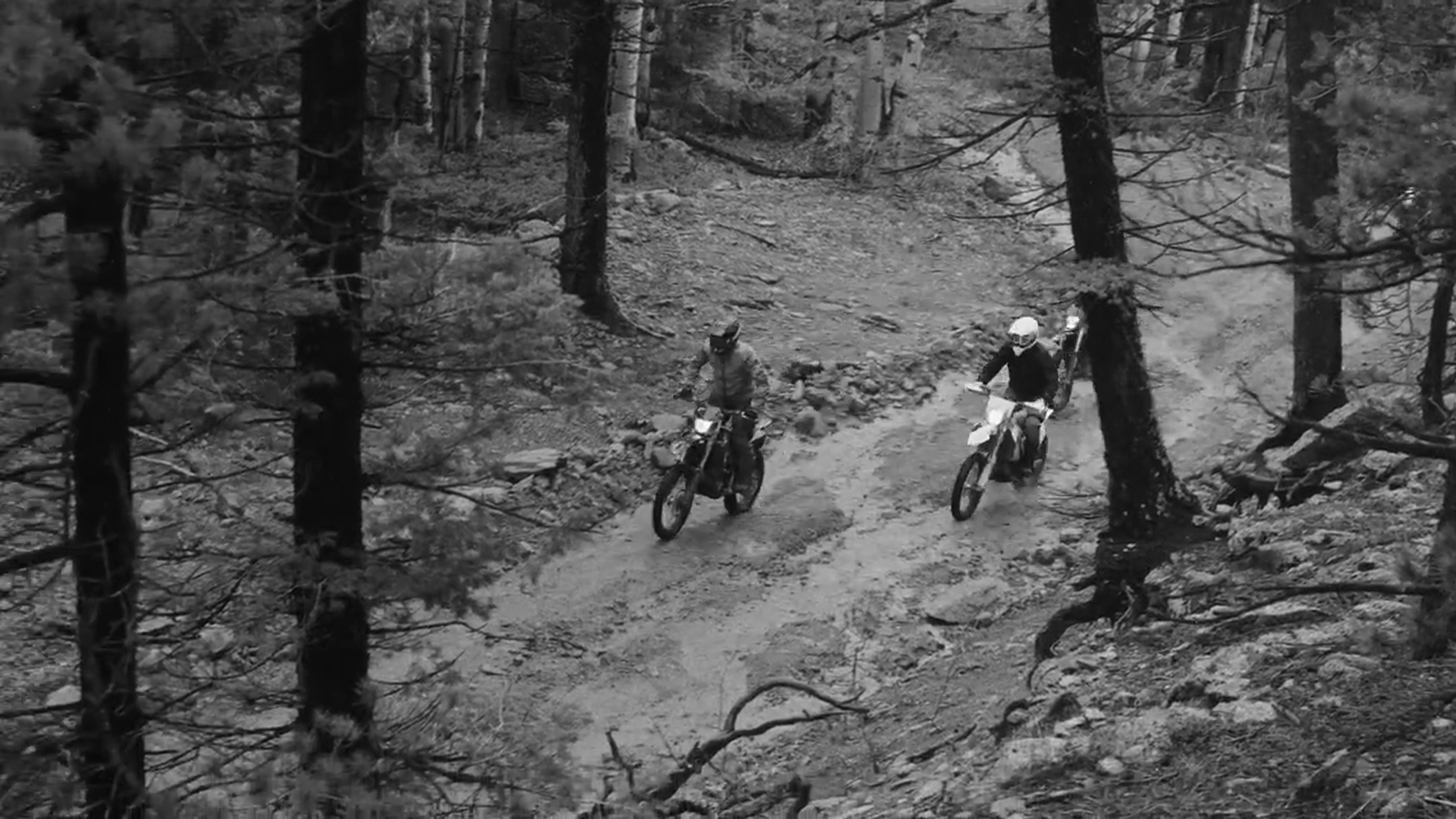
Two riders on dirt bikes on a rocky trail through a forest

Every road can be liked.

Every like makes the next route better, for you and for riders like you.

Find roads you didn't know existed.

Asphalt or offroad, curvy or straight, fast or wandering. Set it your way and get a route that fits.

Know what you're riding into.

Every route shows its real surface, which sections riders loved and whether anything's blocked ahead.

Maze navigating: the next turn, speed, speed limit, altitude and steepness over the map

More than a dash.

Built around your live stats: altitude changes and your own speeding margin. It folds away when you don't need it.


A hand-drawn map: from the start, roads marked fastest, asphalt, very curvy and top offroad, past lakes, forests, mountains and a campsite, with liked spots and a blocked one

Find perfect route

Balanced between asphalt and offroad

Works Offline

No internet needed. Maze generates routes, navigates and records your ride anywhere.

Features

  1. 1.0iOS app
  2. 1.1Android app
  3. 1.2Web app (does not support offline use)
  1. 2.0Plan a one-way trip or a round trip
  2. 2.1Add up to 25 stops on the way
  3. 2.2Pick your mix of asphalt and offroad
  4. 2.3Pick curvy roads or straight ones
  5. 2.4Pick your pace: fastest, balanced or wander
  6. 2.5Before you go, see each route's real surface, the sections riders loved and whether anything's blocked ahead
  1. 3.0Like a road, leave a note or flag its surface, so other riders know
  2. 3.1Notes riders leave on the map show up on the road ahead of you
  1. 4.0Navigate recorded or generated routes
  2. 4.1See liked road sections
  1. 5.0Speed, speed limit and altitude, right in your navigation
  2. 5.1Shows what a regular dash can't: live road steepness, and when you ride faster than your own speeding margin
  1. 6.0Record your rides
  2. 6.1Accurate to as close as 5 m
  3. 6.2Auto record (optional): starts and stops recording for you
  4. 6.3See max and average speed, altitude, ride time, stop time and total time
  5. 6.4Rides grouped by day
  6. 6.5Roads you rode marked on the map, to look back on later (optional)
  1. 7.0Import your favourite routes
  2. 7.1Export recorded and generated routes
  1. 8.0Download map for offline use (roads, terrain, likes)
  2. 8.1Generate routes
  3. 8.2Navigate
  4. 8.3Record ride and see ride stats
  1. 9.0Road surface
  2. 9.1Small roads and paths
  3. 9.2Terrain data
  1. 10.0Connect your Bluetooth buttons for easier access while riding
  1. 11.0Assign a recorded ride to a vehicle
  2. 11.1See your stats for each vehicle
  3. 11.2Get routes suited to your vehicle type
  4. 11.3Motorcycle, car or bicycle: speed limits follow the vehicle you ride
  1. 12.0Ride privately: like buttons hidden, and your rides don't count in road statistics
  1. 13.0Latvia, Lithuania, Estonia, Poland and Slovakia